
File:伸港鄉中山路.jpg

Size of this preview: 799 × 599 pixels. Other resolutions: 320 × 240 pixels | 640 × 480 pixels | 1,024 × 768 pixels | 1,280 × 960 pixels | 2,560 × 1,921 pixels | 3,523 × 2,643 pixels.
Original file (3,523 × 2,643 pixels, file size: 1.25 MB, MIME type: image/jpeg)
| This is a file from the Wikimedia Commons. Information from its description page there is shown below. Commons is a freely licensed media file repository. You can help. |
Summary
| Description |
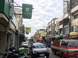
English: Zhongshan Rd., Shengang Township
中文:伸港鄉中山路 |
| Date | |
| Source | Own work |
| Author | Superaspeciala1173a |
| Camera location | | View this and other nearby images on: OpenStreetMap |
|---|
Licensing
| I, the copyright holder of this work, release this work into the public domain. This applies worldwide. In some countries this may not be legally possible; if so: I grant anyone the right to use this work for any purpose, without any conditions, unless such conditions are required by law. |
File history
Click on a date/time to view the file as it appeared at that time.
| Date/Time | Thumbnail | Dimensions | User | Comment | |
|---|---|---|---|---|---|
| current | 12:31, 5 February 2017 | | 3,523 × 2,643 (1.25 MB) | Superaspeciala1173a | {{Information |Description ={{en|1=Zhongshan Rd., Shengang Township}} {{zh|1=伸港鄉中山路}} |Source ={{own}} |Author =Superaspeciala1173a |Date =2017-02-01 |Permission = |other_version... |
File usage
The following pages on the English Wikipedia use this file (pages on other projects are not listed):
Global file usage
The following other wikis use this file:
- Usage on it.wikipedia.org
- Usage on lld.wikipedia.org
- Usage on pl.wikipedia.org
- Usage on www.wikidata.org
- Usage on zh.wikipedia.org
- Usage on zh.wikivoyage.org